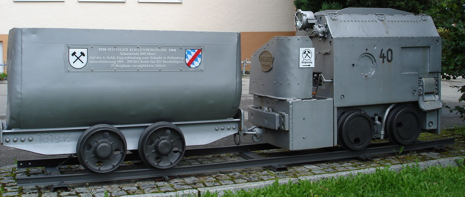
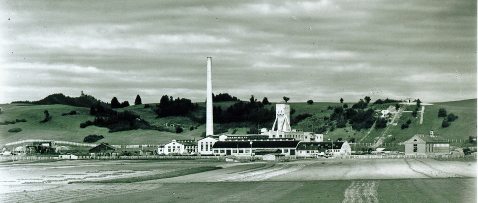
 Between 1920 and 1968, the village of Peiting was a mining community. During this period, 7.9 million tonnes of jet – which has an almost coal-like quality – was brought to the surface via an 813 metre-deep shaft.
This 12 km long circular trail begins at Barbara-Brunnen in front of the town hall and is also suitable for cyclists.
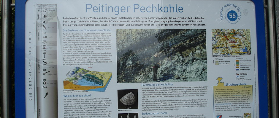
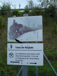
The “Peitinger Bergbauweg” (Peiting mining trail) takes visitors to all the sites in the village and surrounding area that were significant during the mining era. It highlights the geological situation as the most important prerequisite for coal mining as well as the former colliery and the remnants of the failed mining attempts. It also takes you to sites located outside the actual mine, highlighting a few special structural features in the area brought about by the mining. Visitors who don’t have as much time can skip stations 7 to 9, shortening the route to 8 km. A flyer for the Peiting mining trail is available from the Tourist Information Office or can be downloaded below.
Mining trail flyer
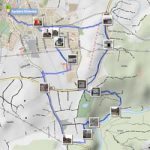 Here you will find a GPS track log with a download option for the Peiting mining trail, courtesy of Mr Wolfgang Bartel
Track description on www.gpies.com

